Our services
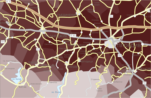
Geographical information systems
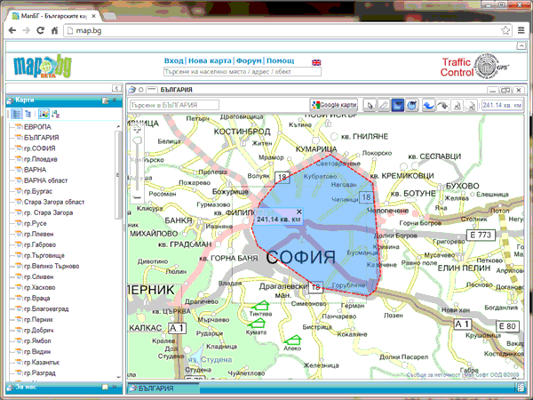
System for creation and editing of geographical maps
Mini GIS system allowing online and offline generation of user defined maps, their geo-reference by linking to geographical projection/images??? and finding of the most precise affine transformations. It works with a set of vector and raster diagrams and direct web-based mapping service applications such as google maps, Open Street Maps, Nokia Here, Bing Maps and has a set of tools for converting vector and raster images and importing web-based mapping information.
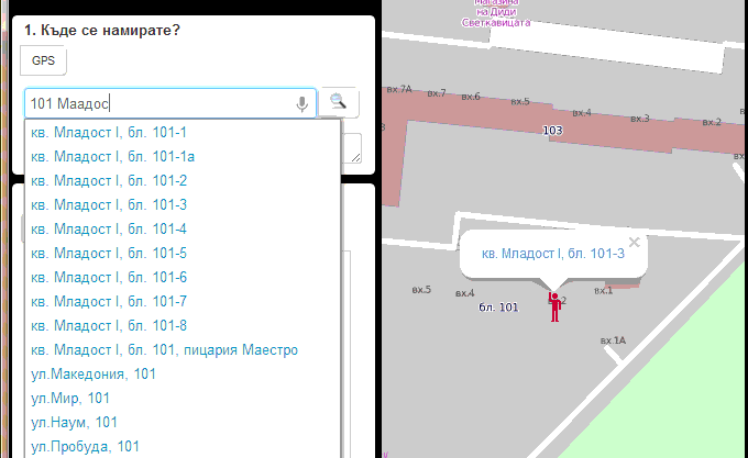
Address related databases
Complementing the map systems with address data (address, POI, etc), setting address index allowing easy address search, autocomplete, edit and application of different search algorithms.
Navigation graph
Adding route planning information with the necessary analytical basis (Dijkstra's algorithm, A*, etc.), taking into account weight, weather conditions, islands/peninsula considerations, etc.

Geo-diagrams
2D geo-diagrams with gradient color and computed geographical coordinates, based on elements of mathematic analysis such as Delaunay triangulation, Voronoi diagram that allow effective real-time work.
Geo-mathematical analysis, polygons/polylines
Mathematical algorithm for special geometry, calculating curved paths (graph theory problems, travelling salesman problems????), polygon algorithms – triangulations, area of complex polygons, other mathematical calculations with polygons. Polygon related statistics – sorting according to a criterion or detecting the closest object according to the selected criteria.
Auto-location systems
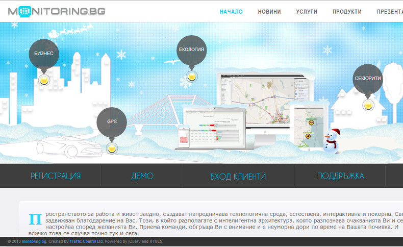
Monitoring.BG
Platform and web-based system for remote control of various processes and apparatus. Through it you can control and monitor the work of various devices and systems in real time and use the analysis and background information on changes of different parameters for a given period of time.
Systems for monitoring and managing of geo-positioned objects
Universal real-time management system that considers the devises as black boxes emitting and receiving signals in a form of numbers, dates, text files, pictures, GPS coordinates /WGS84, etc. It supports a set of tracking device protocols, allows adding of new protocols. It allows connecting Android OS devices to the system by relevant drivers. Examples of use of such system include fleet management, receiving of weather station’ data, management of printing devices, monitoring of environmental and energy indicators.
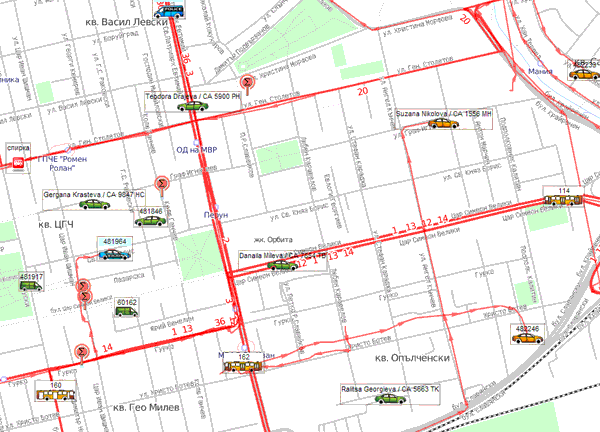
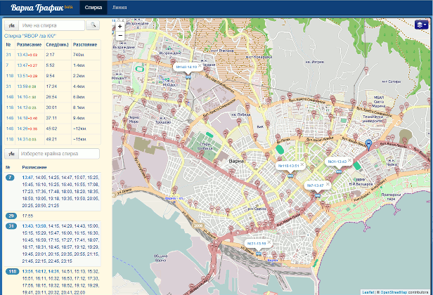
Fleet management – public transportation
System that monitors bus schedules and provides information to the passengers (real-time passengers information) linking bus on-board computers, central computer (centralised dispatch system????) and devices installed at the bus-stations.
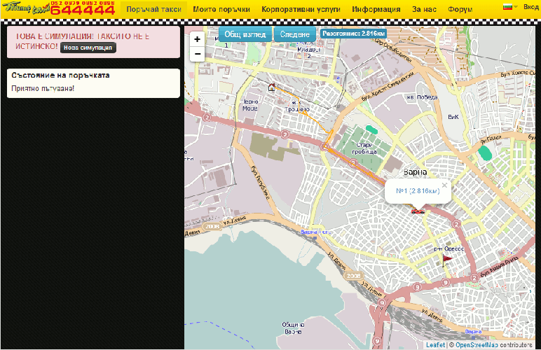
Taxi service management
Taxi call-center management system having client database linked to automatic call center and integrated strategies for detecting the closest taxi. Monitoring of distance travelled, call received and fulfilled (trips competed???). Summary data on services provided. Online calls, web-based interface with RWD (responsive web design)